The “Toop” became a nickname assigned by Paul Godfrey for the Toupnein Creek, a centrepiece of canoeing in the Lindsay River Area, which is an offshoot of the Murray River, just over the border.
Other members on this tour were Margaret Wattchow, Trev May (T1), Trev Moyle (T2) and David Evans. Paul was particularly taken with the Toupnein as we had been turned back from exploring it by a large fallen tree blocking the top end on a previous trip.
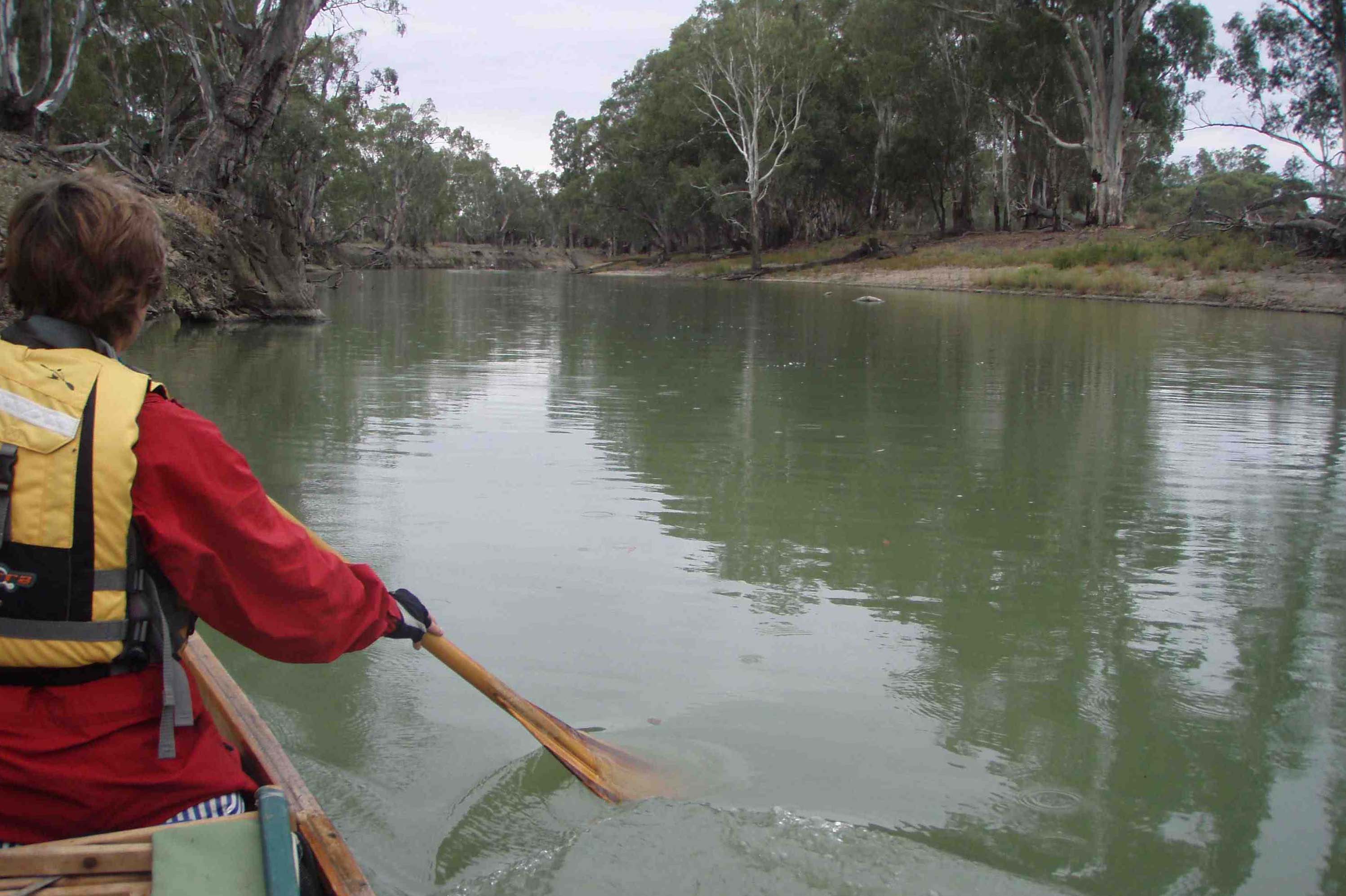
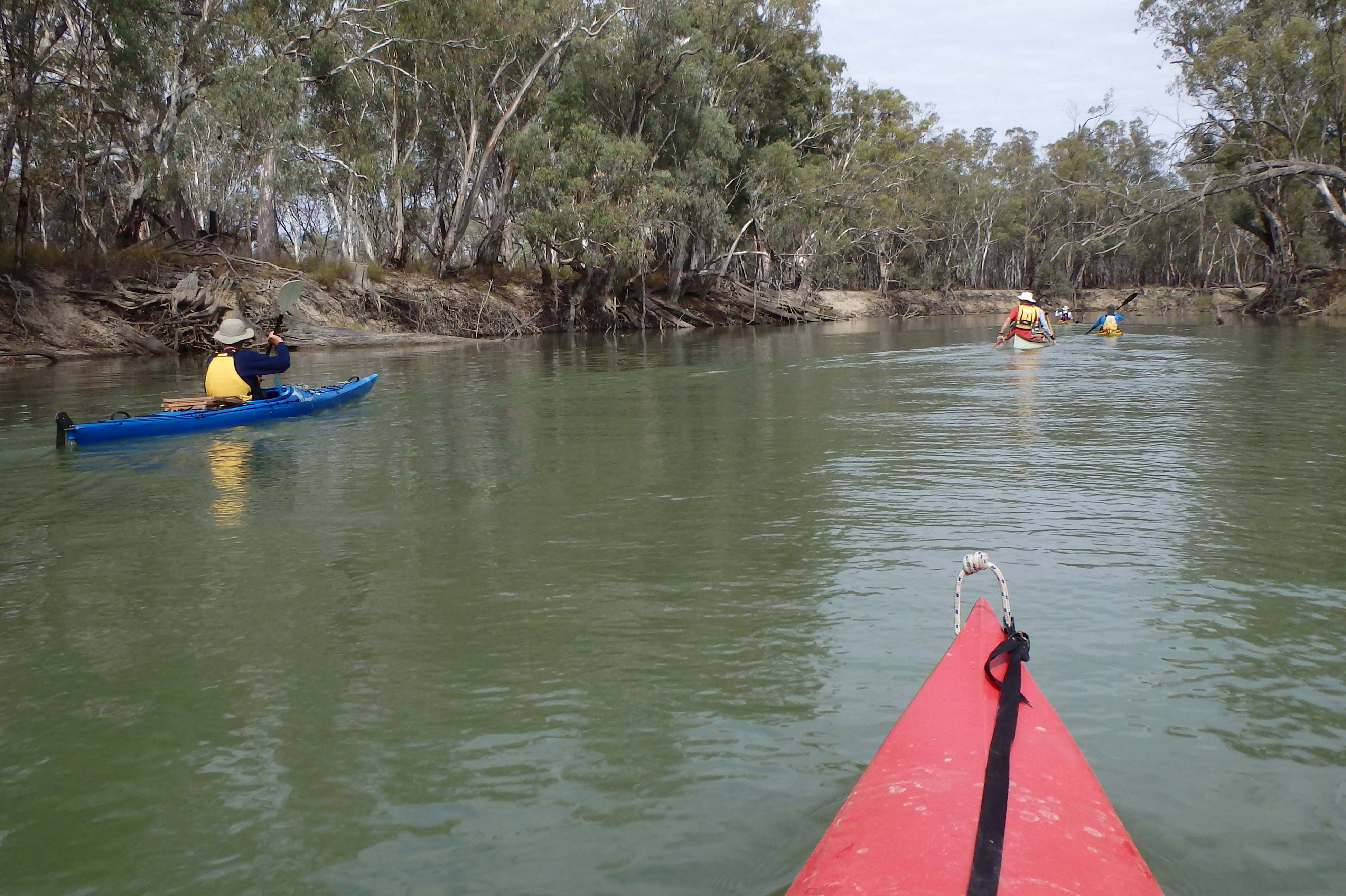
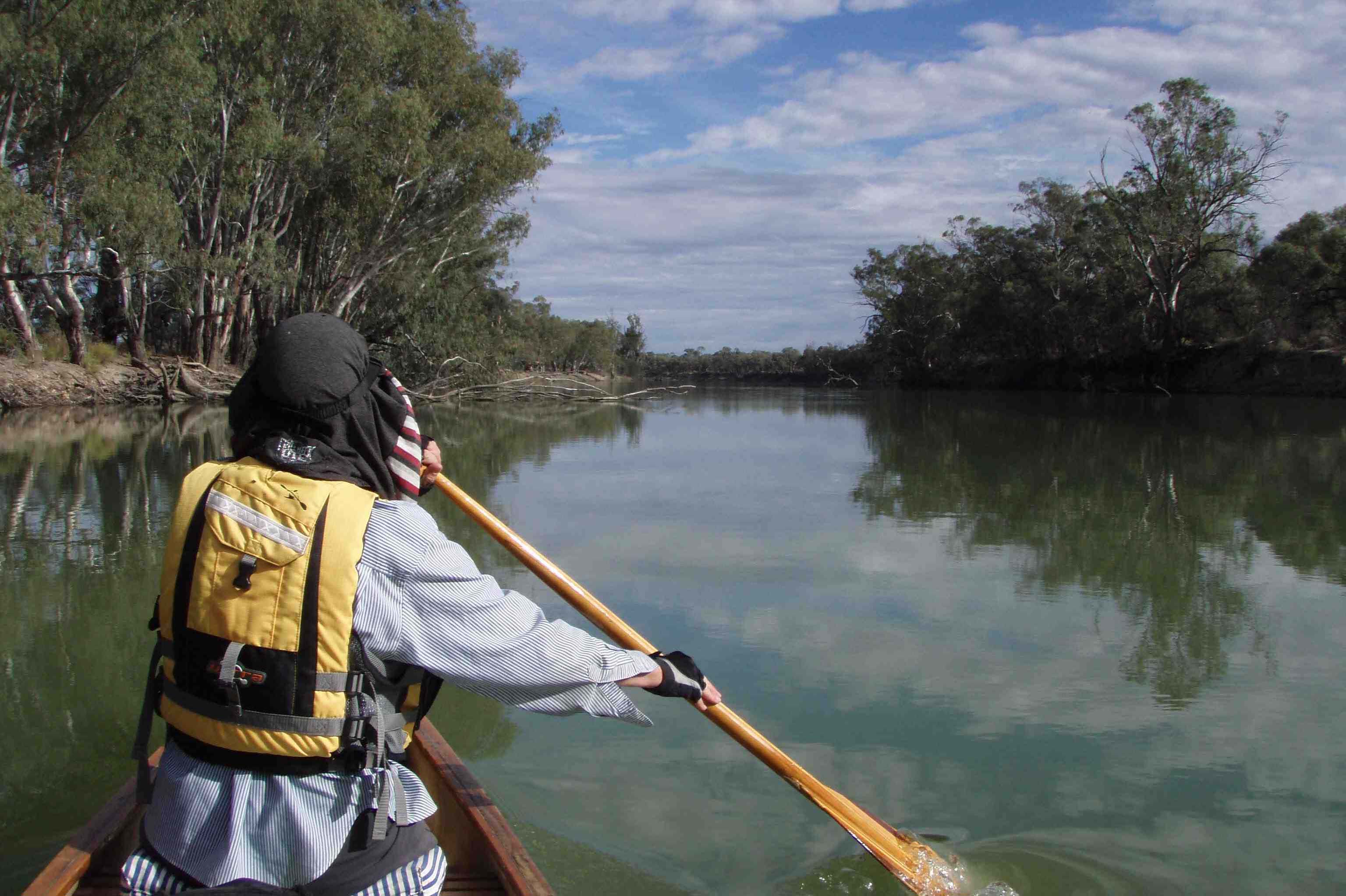
We assembled at Lock 7 on the southern side just after Easter and scouted out a nice camp on Mullaroo Creek, a little down from the mouth where considerable earth works were underway, reconstructing a weir at the mouth. The flow in the Mullaroo was quite considerable, and initially we paddled upstream to enjoy this picturesque creek. Our craft were mainly kayaks, except for Margaret and I in a trusty Canadian, which was actually more manoeuvrable around the tight snags that are prevalent in the upper sections of the creek.
After reaching a large tree fallen across the creek we meandered downstream. The creek is lined by large river red gums that have not seen the axe man as had those more accessible trees along the main river. Snags required careful negotiation as the current would sweep one onto the snag. Several canoes had close calls and finally Paul took the honours, coming side-on to a snag when leaning upstream into the current, causing an instant swamping and capsize. He’s a tough lad tho’ and was soon emptied and dried out.
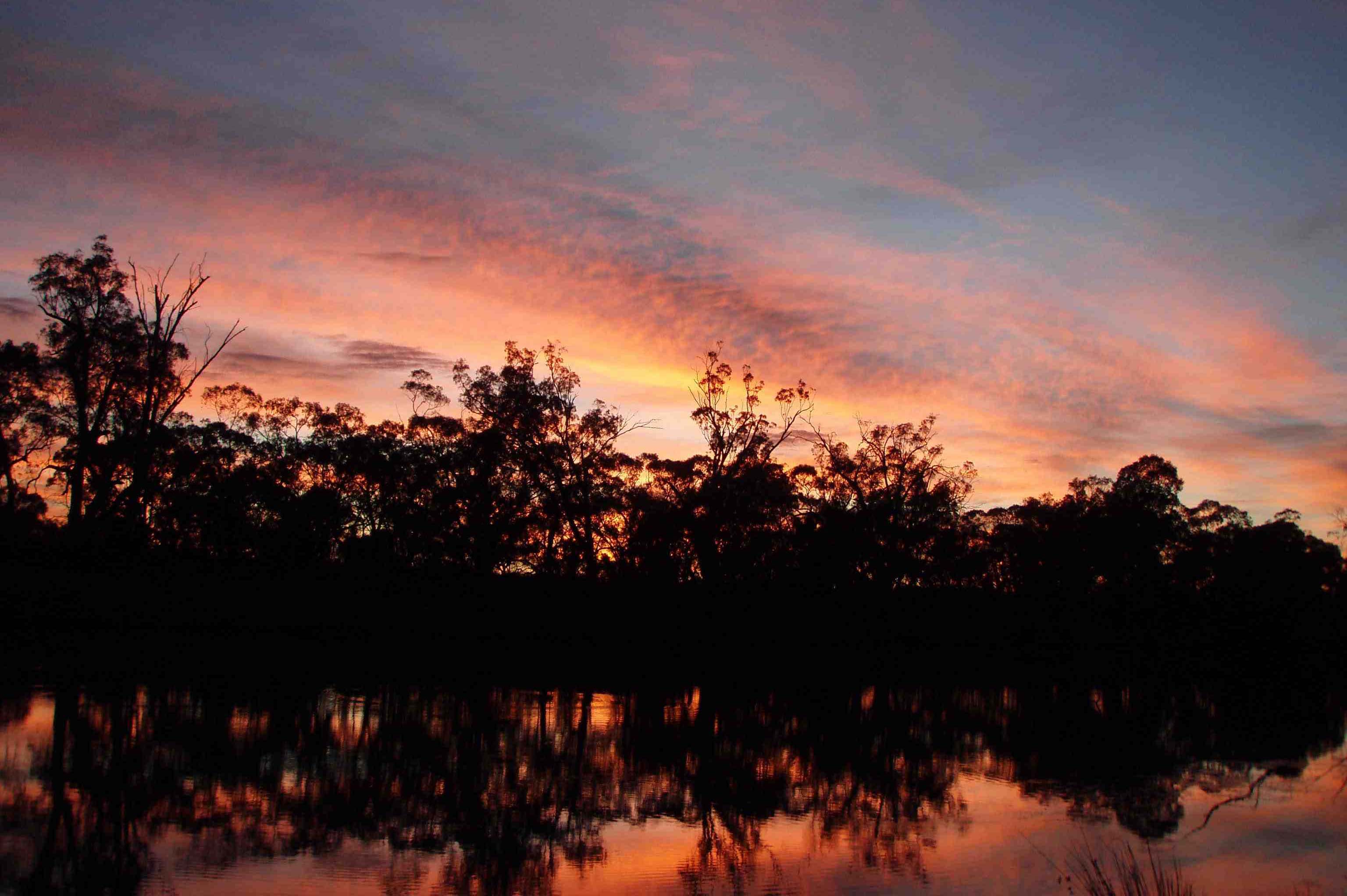
The little Mullaroo feeds into the Toupnein Creek from the north, and we paddled several kilometres up this until it became too shallow, then we returned and shortly made camp on a nice sandy bank. Campfires were authorised on this trip, and in the morning there was a superb sunrise across the gum-lined water.
The creek widens out at this point before coming to a popular campsite called the Caravan which included a table for morning tea. It winds around before entering the Lindsay River, and we paddled upstream, but this area is still affected by stock and was markedly denuded. Some enthusiastic souls charged on to the bridge that provides access to the area, while others lounged under a shady gum as it was quite warm. We meandered back along the “Lindz”, camping on the western bank and enjoying a dip in the rather cool water.
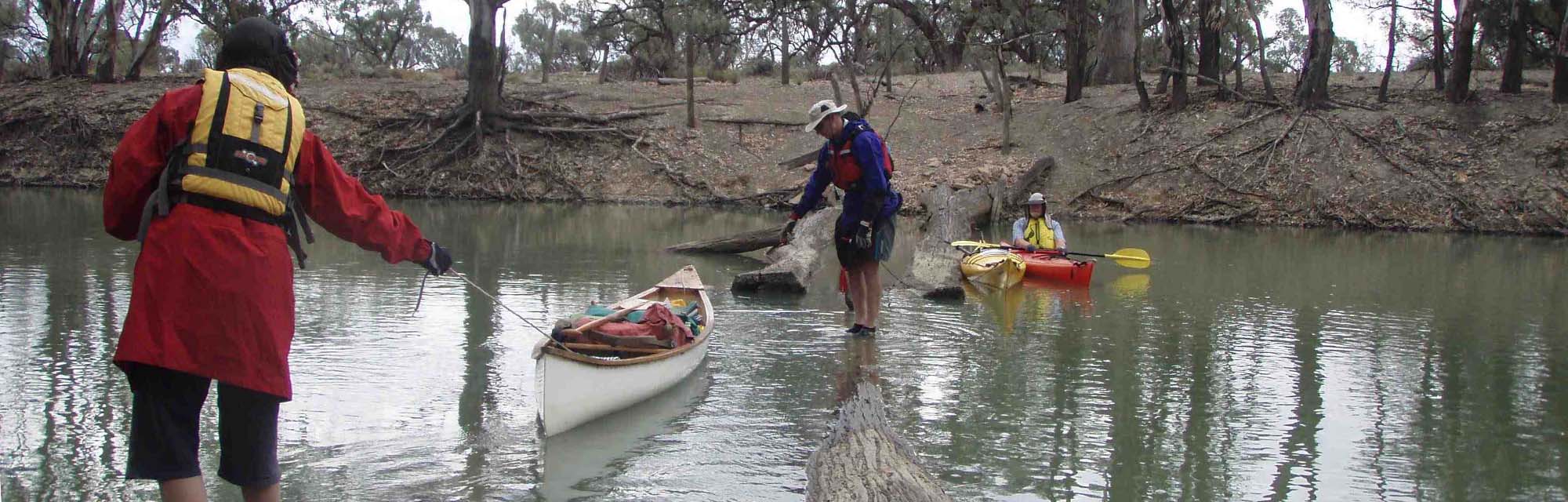
Here the Lindsay becomes as wide as the main river and splits at Reedy Island, where there was a great, potential camp spot. We paddled around the shallow arm of the island (west side) then through Higgins Cutting and down the main stream of the Murray. We were aiming for “Spoon” camp, a site where Paul had mislaid his utensils, but this was occupied so we found a better spot on the northern bank. A few of us paddled to the border of NSW/SA and explored the top end of the Hypurna Creek, which we found to be open and flowing (the snags had a path cut through them with a saw). A swim beckoned, but the mud on the river edge was gluey and unpleasant.
At camp that evening, my trusty old wooden camp chair finally separated, dumping me on the ground, however the engineers got to work. T1 had usefully retrieved some stout fishing line and T2 wove an effective repair that lasted for the rest of the trip.
Back on the Murray, it was hard to discern a current in the main stream, which we now paddled up, back through Higgins Cutting and on to the entrance of Salt Creek. At a halt here we were startled by gunshots that sounded nearby. We didn’t get far along the creek due to snags, though it was pretty. There is an ancillary entrance upstream that we explored, but it too petered out with snags. We now entered Pollard’s Lagoon and finally found a campsite that was not threatened by red gums, which can drop limbs on unwary campers.
Pollard’s Lagoon is quite long and shallow, and consequently contained many pelicans as they fish in the shallow waters. We now entered the Toupnein Creek. At the entrance to this creek we startled a mob of kangaroos, which proceeded to swim across a gap between some islands! “The Toop” was certainly worth it, being as attractive as the Mullaroo. An old road bridge required careful negotiation and balancing acts. We had hoped to paddle into Webster’s Lagoon, but it is dry (blocked off by a rock wall barrier).
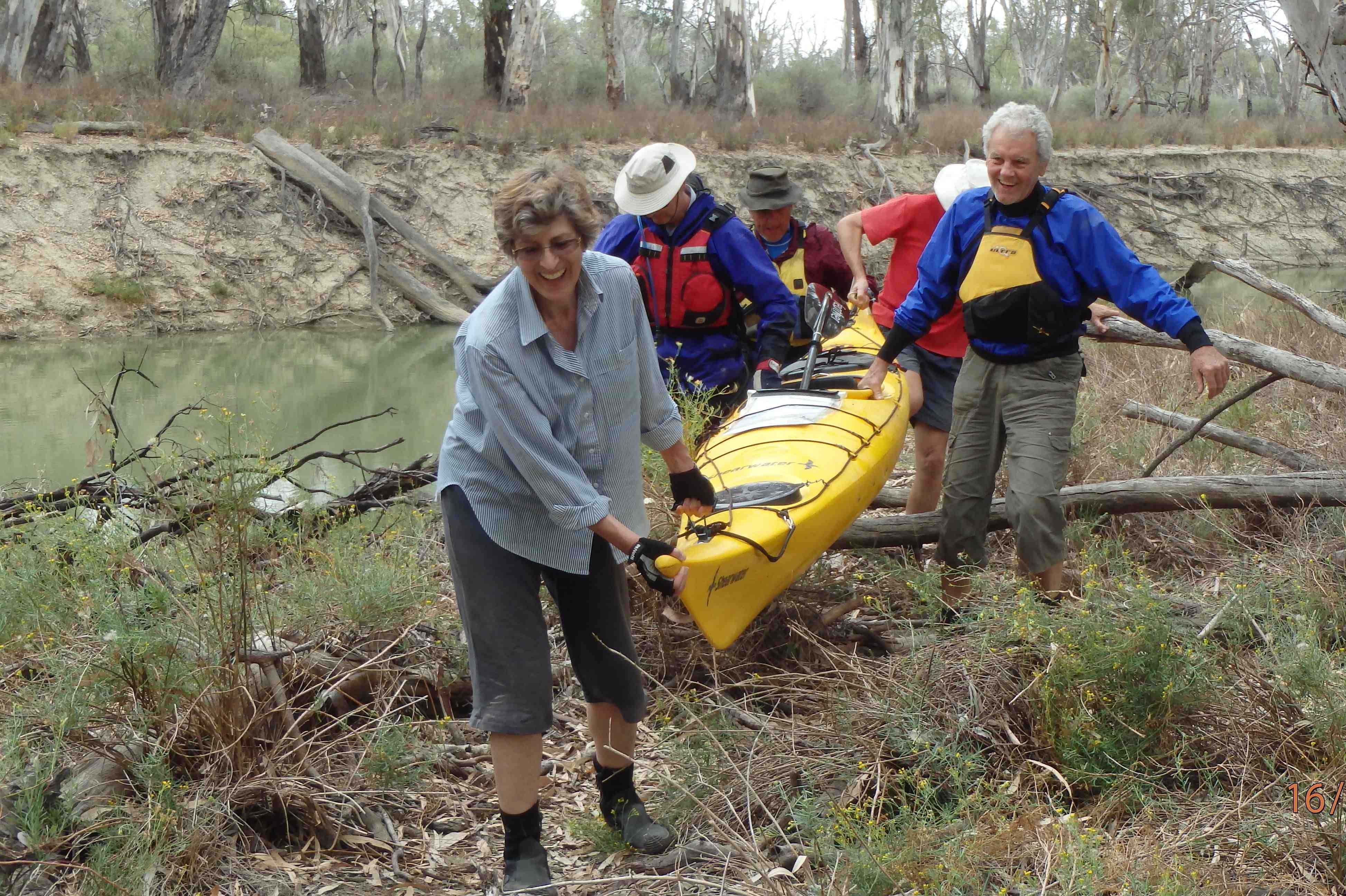
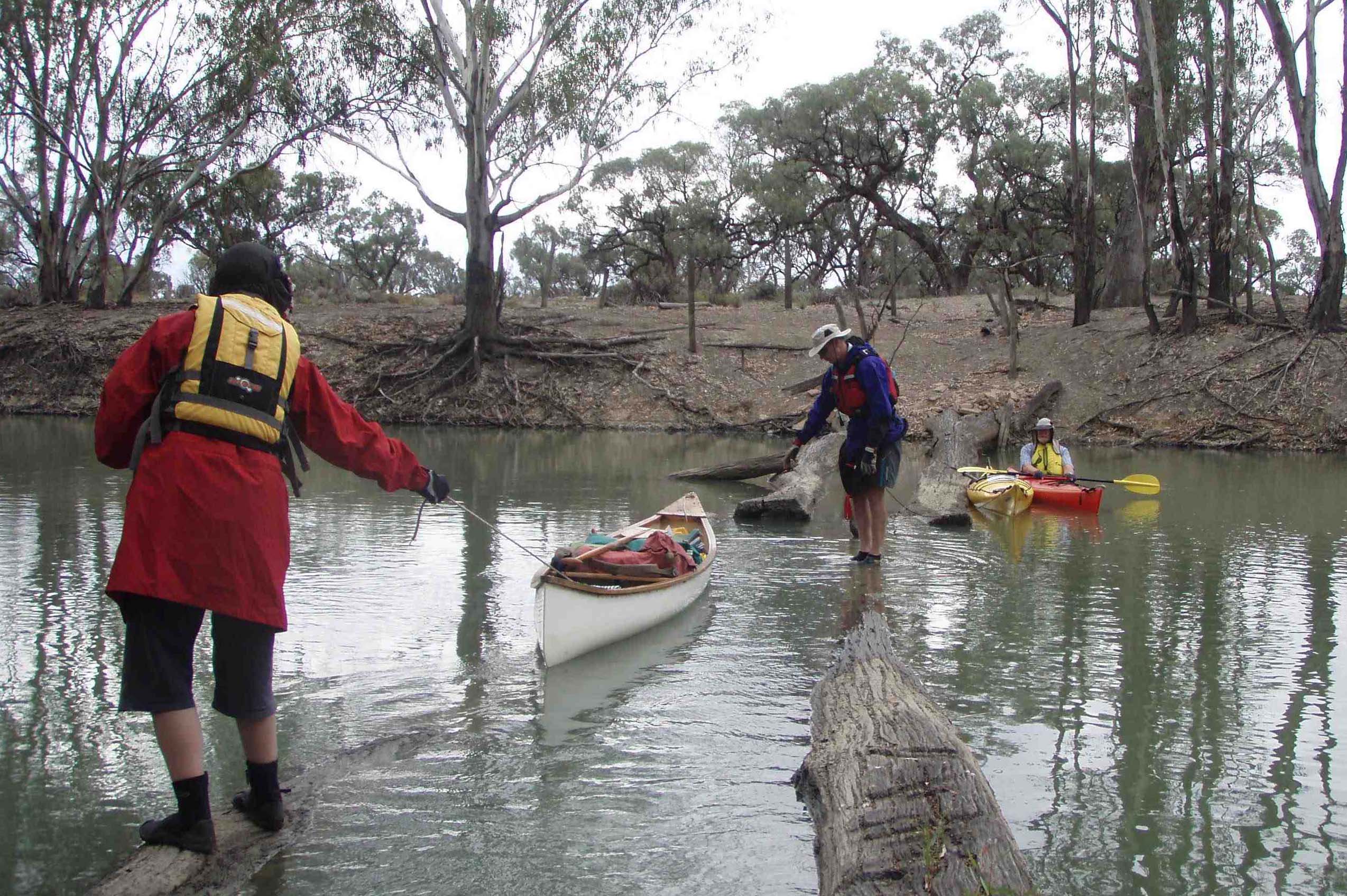
Beyond this point it becomes quite snag ridden, but navigable by picking one’s way along until we reached the huge fallen tree that had blocked Paul and I on our previous trip. A portage was needed. Luckily there was a path on the eastern bank. The Canadian needed to be unloaded (we were carting some of Dave’s gear – but charging considerable haulage fees!!), but the kayaks were lifted bodily by four people and carried around then slid down the bank. All except Paul of course who hopped out onto the log and hauled his boat across!!
A lunch stop was called for, and various plans were hatched to burn, blow up or destroy that snag. Fortunately there was not another big one around the corner, and we were shortly upon the mainstream and decamped at the next big sandbar.
We spotted cattle on Toupnein Island, and plenty of kangaroos, emus, ducks and swans along the way. Trev Moyle spied (and photographed) some variegated parrots. I generally tried for a camp about 3 pm or so to allow for relaxation/preparation – and a swim or bird watching for those that wanted it. Our best bird sighting was of an Azure Kingfisher flitting from branch to branch along the Mullaroo Creek.
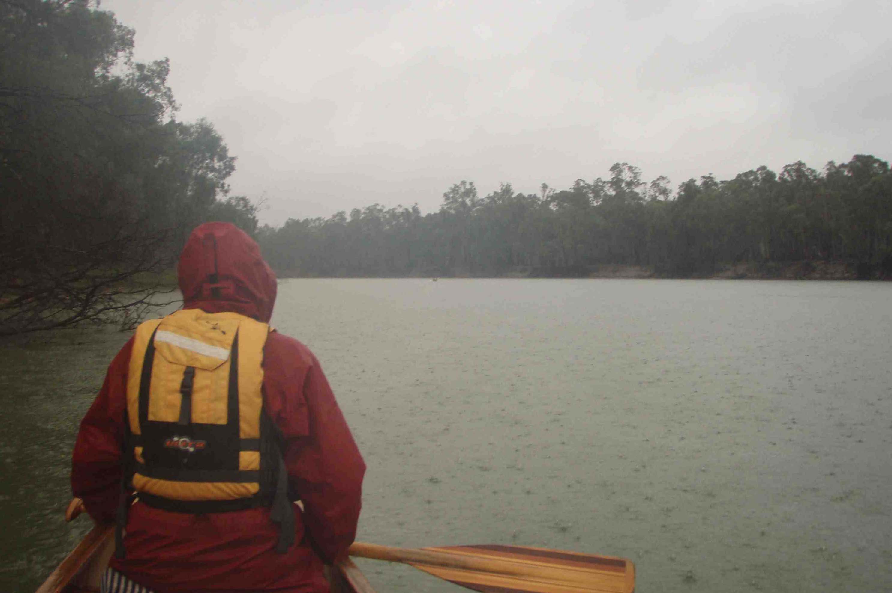
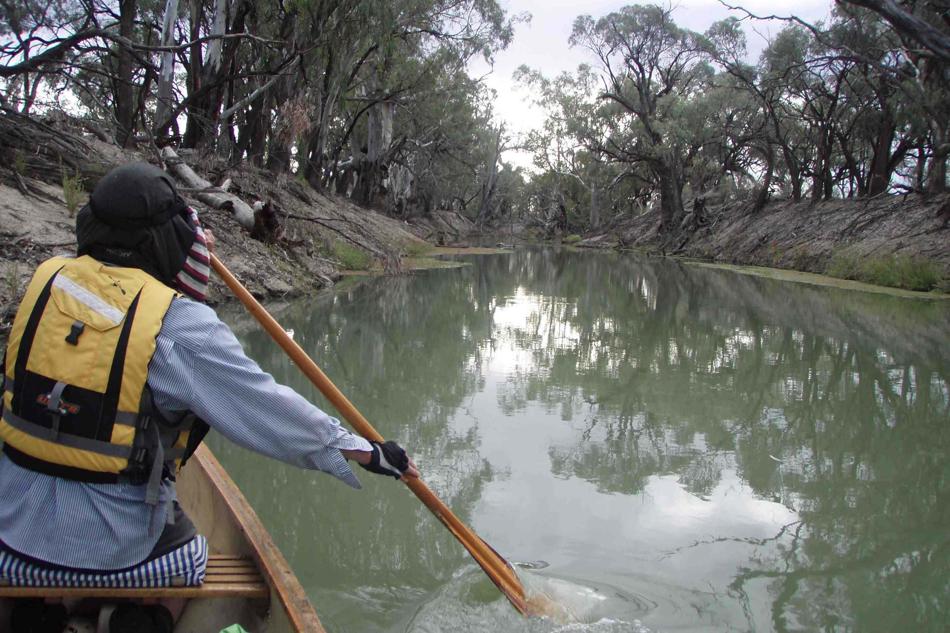
The weather had been threatening all day and the forecast was dire but nothing had happened, rather lulling us into a false sense of security. Rain commenced to patter down just as we tucked up after tea. Then it started to pour and sneaked its way into most tents, making for a damp experience. It was still well and truly coming down in the morning, making for a hurried breakfast in the tent before getting moving along the last bit of river to Lock 7. It was raining so hard I had to mop out the Canadian every ½ km or so (having no spray deck like the kayaks). Water was pouring off my hat, and the river surface was a maelstrom. The current picked up too, and swirled around the old pylons of groins that poked their way into the river. The hard work kept us tolerably warm, but when we finally pulled into the boat ramp just down from Lock 7 our core temperature plummeted and we were all shivering and quickly pulled on extra layers.
The riverbank was a muddy mess. A single footfall plunged down ankle deep into the mud. Margaret and a few others walked up to the lock, but could not return with the cars as the road was sodden , so we got back on the water and paddled around to the lock. The exit was not much fun, being a steep muddy river bank. But there was a nice surprise at the other end as Margaret had skilfully negotiated for us to stay in a shelter near the Lock. Perhaps the lockmasters took pity on the “drowned rats”. Who cares, what a haven for soaked canoeists!!
It kept pelting down till late that afternoon. The lock recorded 54 mm rain in that period, one of the wettest areas along the river. Apparently it was the wettest period for 70 years at Mildura, and we canoed through it all!! That is either bravery, or madness, but probably necessity. We were safely ensconced under shelter, but the roads were a mess and we weren’t going anywhere for days – but that’s another story.
[the_ad_group id=”142″]
Great trip report. Thanks. Thinking of venturing out to paddle this area over the new year break. Love to know a few more details. e.g. km’s travelled, number of nights, trail map…
Was the trip recorded on a GPS and if so would it be possible to get a gpx/wpt file with camp spots and paddle route.
best George
george.joseph.turner@gmail.com