
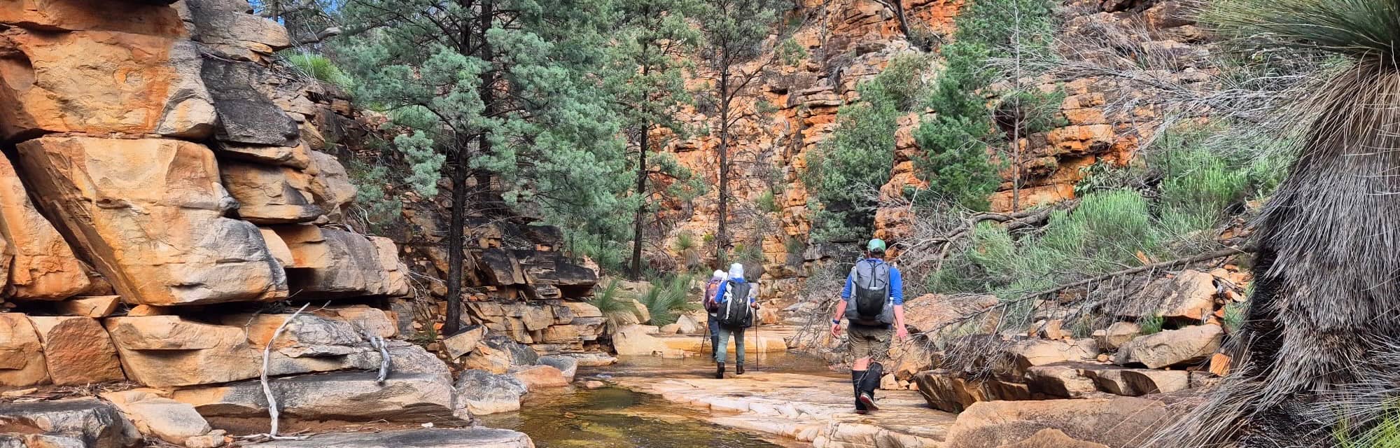
Rain. In the 5 days before we arrived, Arkaroola received 45mm, and another 52mm during our trip. Roads and campsites were either closed or awash and creeks in full spate. Normally dry waterfalls resurrected themselves in spectacular fashion. Was this the wettest Gammons trip ever?
Trips to the Gammon Ranges are normally an exercise in schlepping water between the known, reliable water sources and that’s exactly what we had planned. But nature made our plans look ridiculous. Each day was spent wading along flowing creeks, scrambling around the deeper parts to avoid swims and climbing through flowing waterfalls. The higher ground was sodden with ankle-deep mud.
At the end of the day we would reach our waterhole. Which wet bit do you think it is? Dunno.
Indeed, in the days before our departure, it looked as though the trip was impossible. All the Flinders roads were closed, many damaged. At the last minute, the roads we needed opened to light four-wheel drives, but even then the warnings were clear. We went at our own risk.
Two members decided not to take the chance and so it was that five hardy souls set off from Italowie campground late on a Friday afternoon. We would see no other person for a week. It was us and the rock wallabies.
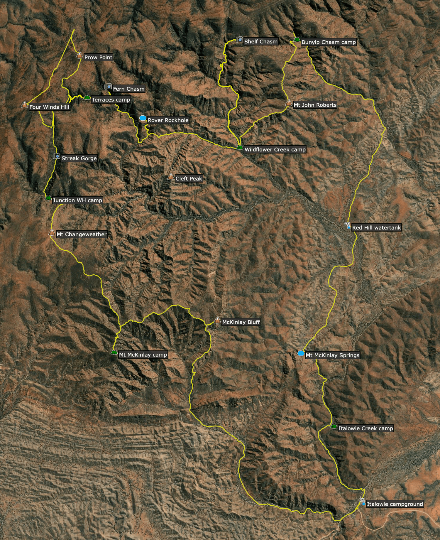
Day 1: Italowie campground to Italowie Creek 4km
Arriving at 3pm and aware of the long day to follow, our aim was just to get as far as we could. That way we’d have more time to explore Bunyip Chasm tomorrow. We started with dry shoes, and so there we were trying desperately to cross Italowie Creek without getting our feet wet. Some rock-hopped (badly), others took their shoes off, all of us wasted valuable time.
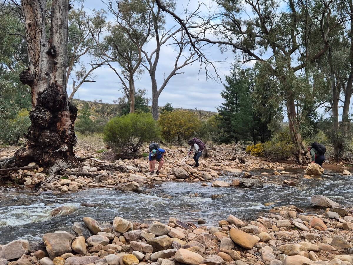
Of course the joke was on us. The track would end up crossing and recrossing the waterway, and one by one we succumbed to the inevitable. It was the last time we’d have dry shoes for a week.
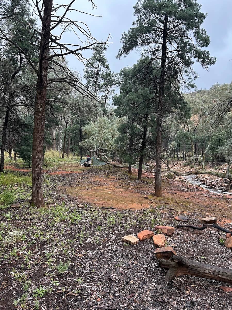
Before dark we found a suitable flat spot and threw down our tents. Then as night fell, in a jolly habit that would define this trip, we congregated around the nightly campfire. Wood that had been washed down the creeks provided our guilt-free fuel, and the warmth allowed us a third alternative to hiking or hiding in our tents.
Day 2: Italowie Creek to Bunyip Chasm via Mt McKinlay Spring & Red Hill 15km
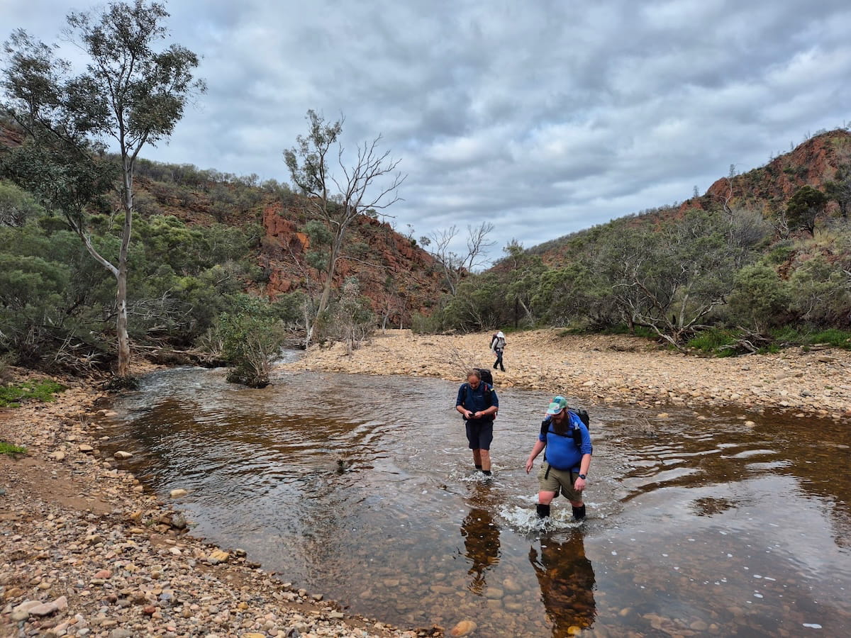
We resumed our course along the swollen Italowie Creek until the marked track turned left to cross a low saddle and descend to Mt McKinlay Springs. After much puzzlement, we decided that the ‘spring bit’ must be where the reeds grow. Like all of these waterholes, they needed to be seen in the dry to make sense of them.
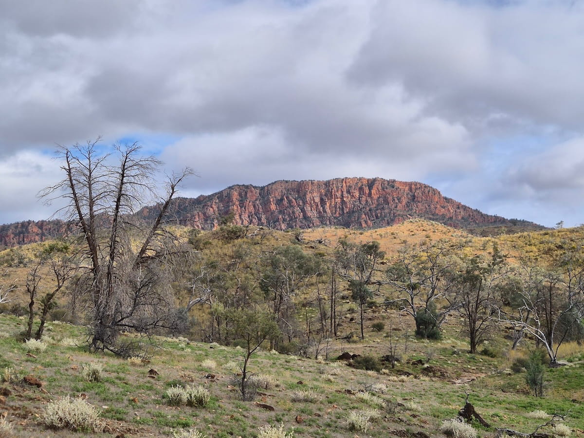
From here we traversed beneath low hills and the brooding presence of McKinlay Bluff, still following the marked trail to Grindell Hut. It was just before Red Hill that we finally went our own way to walk the few hundred metres off trail to our ABW Red Hill water tank.
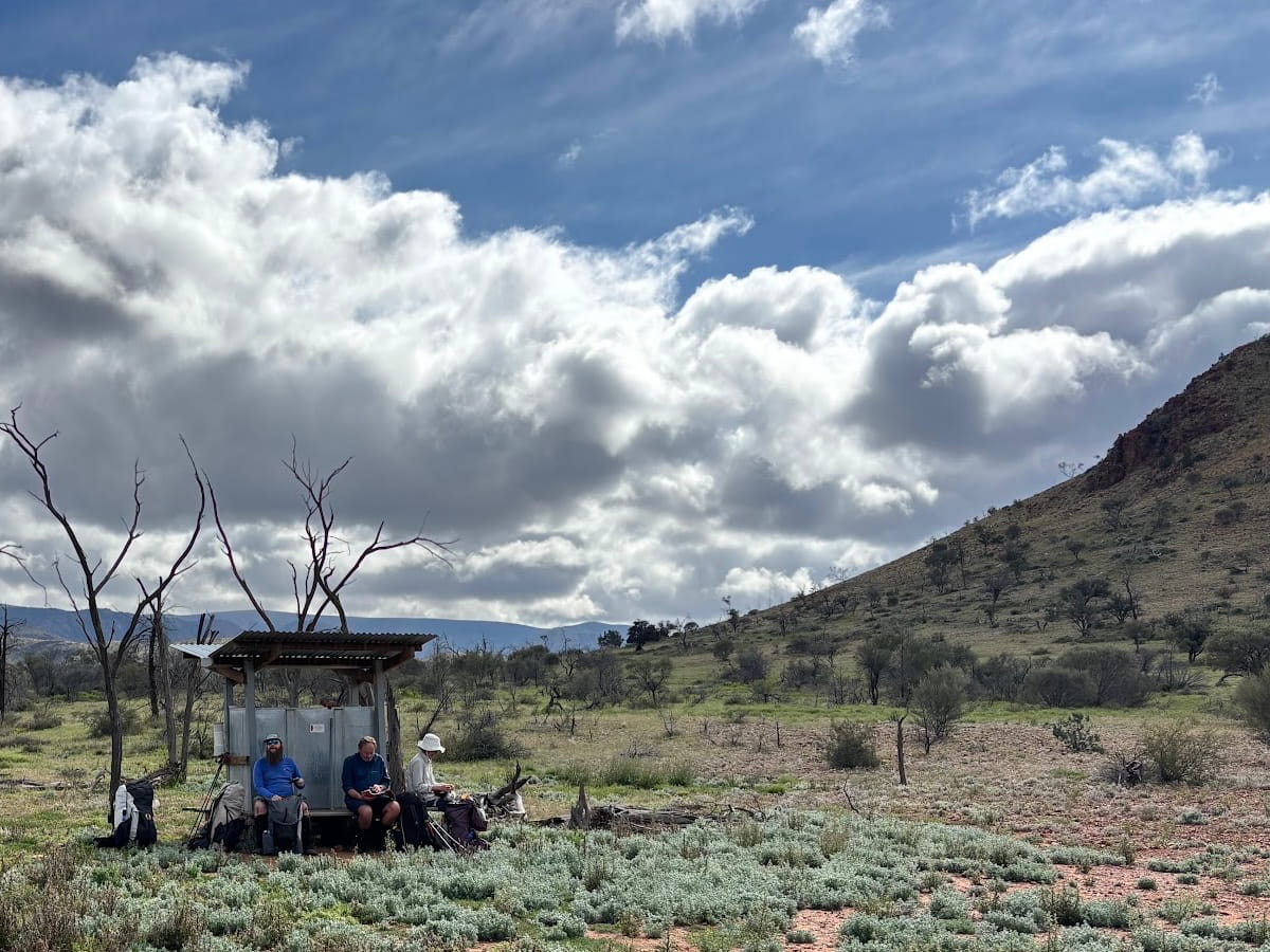
Then we followed rough tracks, human or orherwise, towards Loch Ness Well where we joined the Balcanoona Creek and our first taste of the real Gammons.
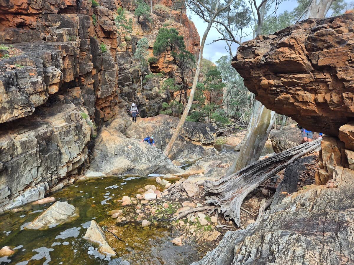
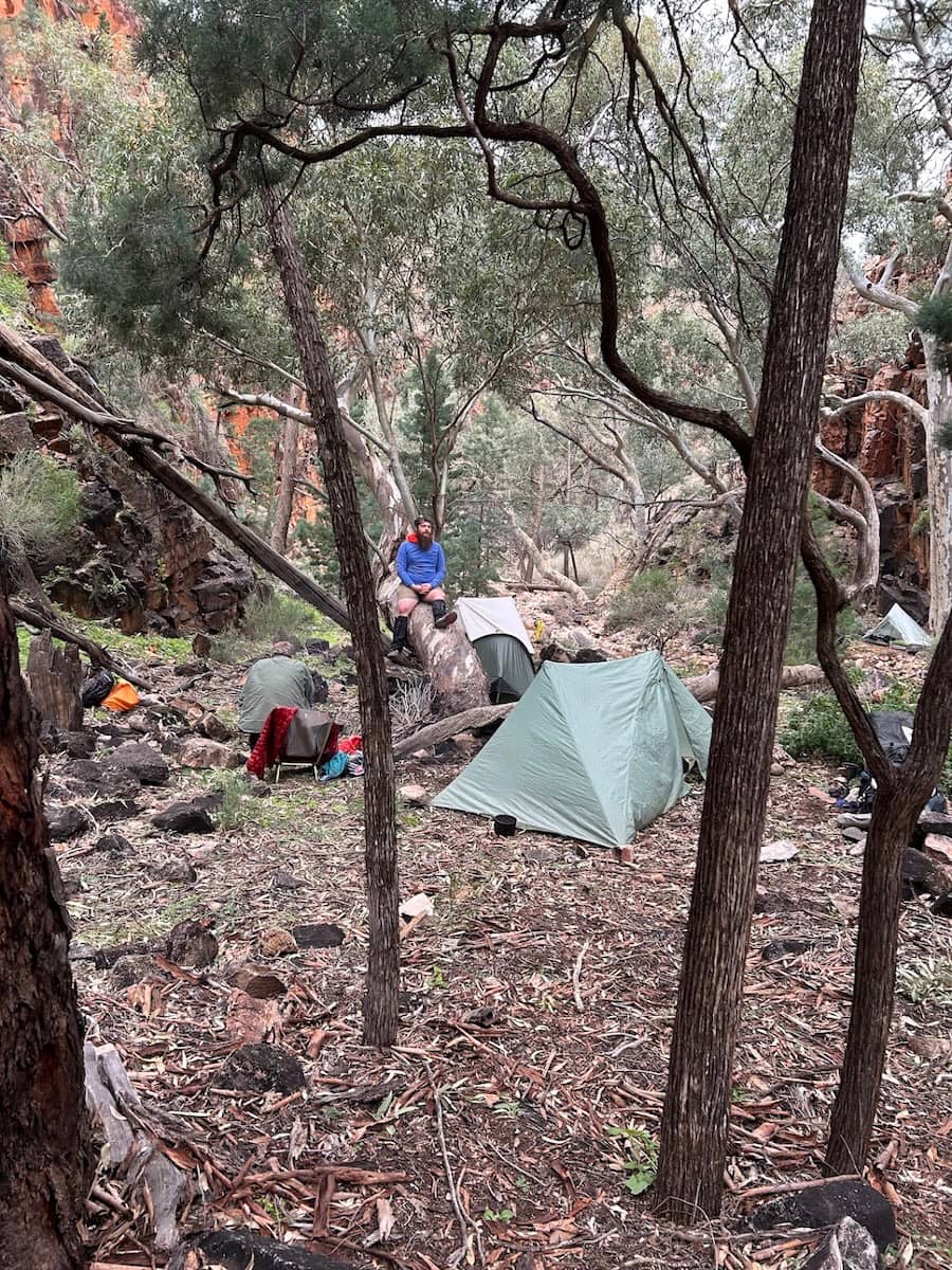
This creek was to be our pathway to the few flat spots that constitute the Bunyip Chasm campsite. Not for the last time, we were glad we only had to find five tent spaces.
Tents were hastily erected and we hurried to explore Bunyip Chasm hidden in a branch directly upstream. The route is famously difficult, but it was made doubly worse by having to climb around the onrushing water before we’d even reached the final approach you see here.
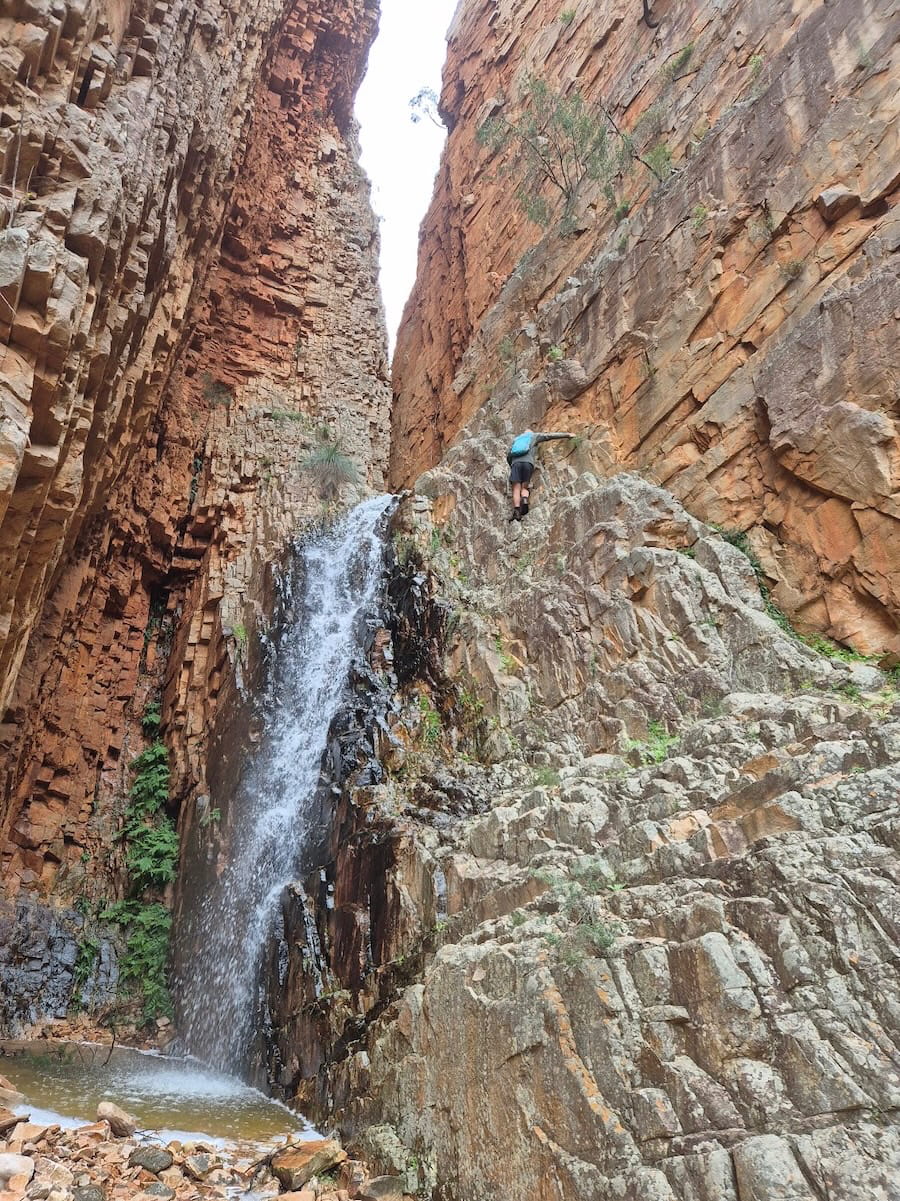
Is Bunyip Chasm as good as it seems or is it partly the risk to one’s life to get there that makes it such a thrill?

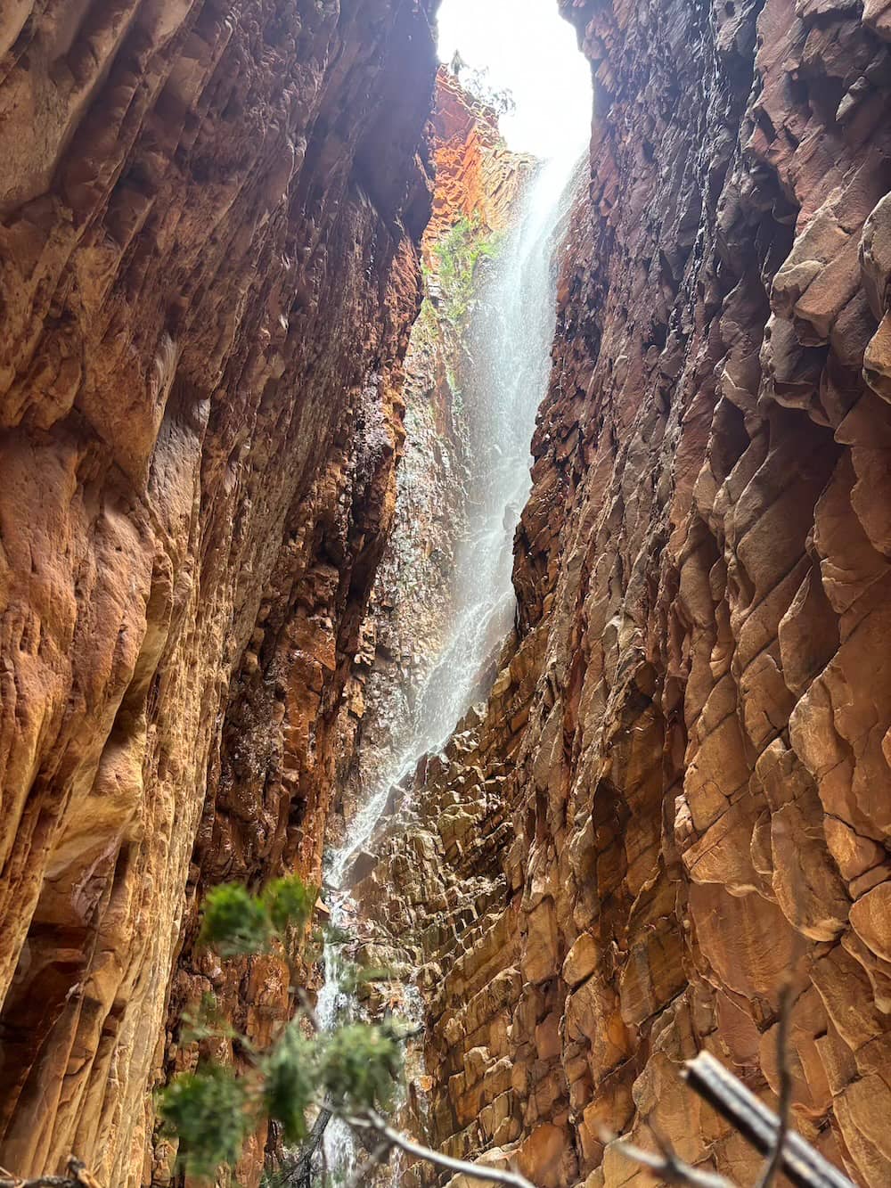
And of course the water was just pouring through it.
Day 3: Bunyip Chasm to Nth Branch Junction via Mt John Roberts, side trip to Shelf Chasm 15km
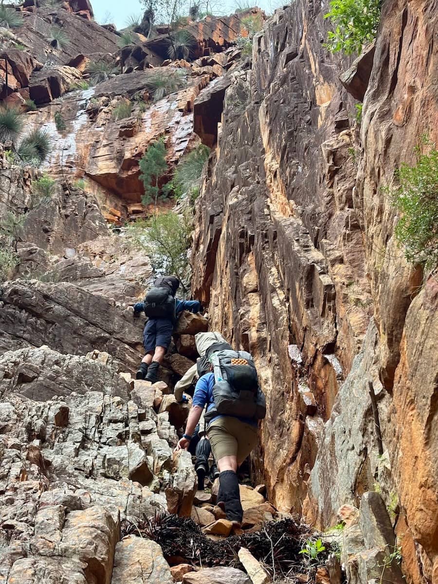
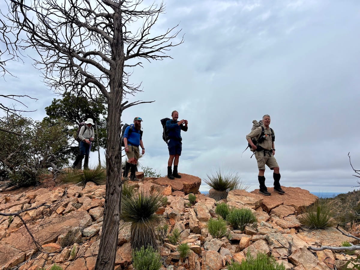
Within a few hundred metres of camp, the day kicked off with a rude climb out of the gorge, then up a steep ridgeline scramble to Steadman Ridge. That’s what the Fab Four are standing on here.
A short and easy stroll led us to Mount John Roberts, which curiously is not named for its highest point but the bluff edge. Behind Trevor is McKinlay Bluff with its distinctive scree slope.
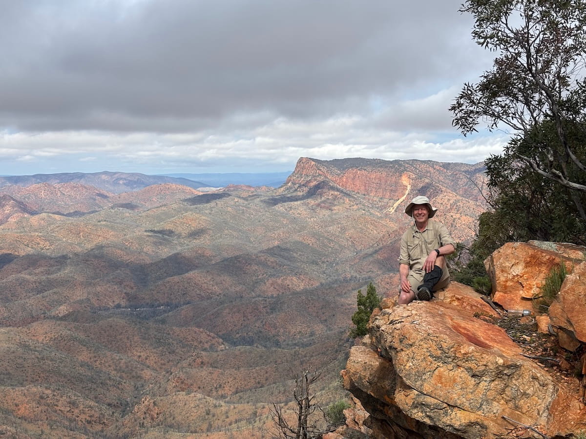
Then it was down a gentle ridge with a clear track to the night’s camp at the junction of Italowie Creek North Branch and Wildflower Creek.
But it wasn’t over yet. After lunch and pitching tents, we set off further up Italowie Creek to visit Shelf Chasm. It’s a very entertaining scramble through at least 5 small waterfalls but it’s no chasm.
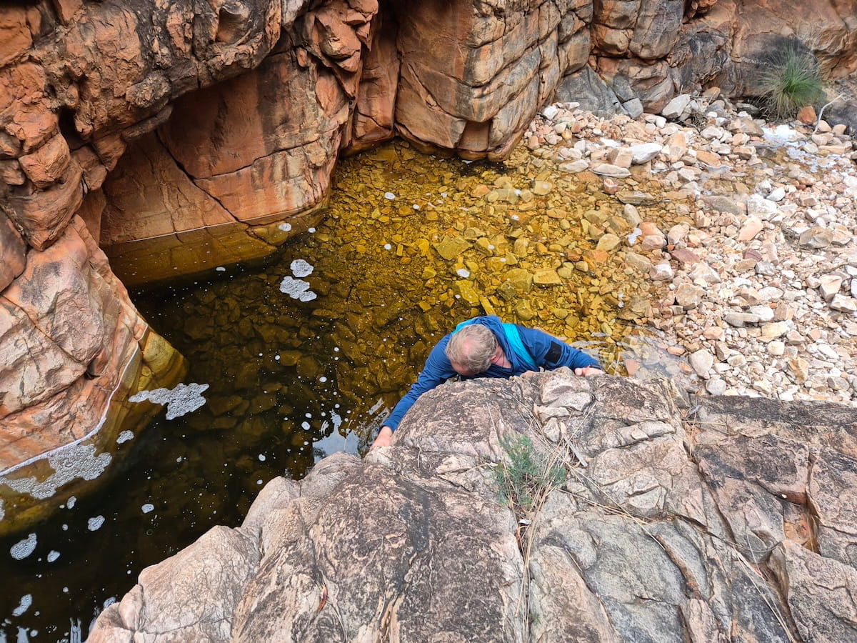
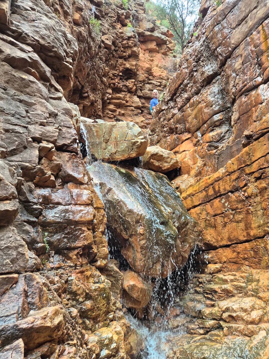
On the way is a tight 180 degree bend where the creek must drop 20 metres from side to side, leaving a narrow rock isthmus and a vague head shape called the Old Man of Italowie. That’s it below (top right), and that rocky wall represents the height of the creek on the other side. The waterfall you see is leaking through cracks in the rock wall while the main stream comes in from the left.
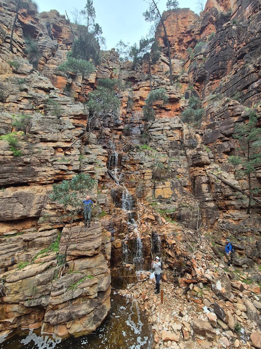
More wet, slippery, fun scrambles ensued.
We took so long we only arrived back at camp right on dusk. That evening, rain started early and we retreated to our tents.
Day 4: Nth Branch Junction to The Terraces via Rover Rockhole & Fern Chasm 9km
Morning dawned misty and cold. We climbed to Wildflower Saddle, where we made our only concession to the weather. There would be no climb of Cleft Peak this year since its head was in the clouds and frankly we were all feeling a little stuffed.
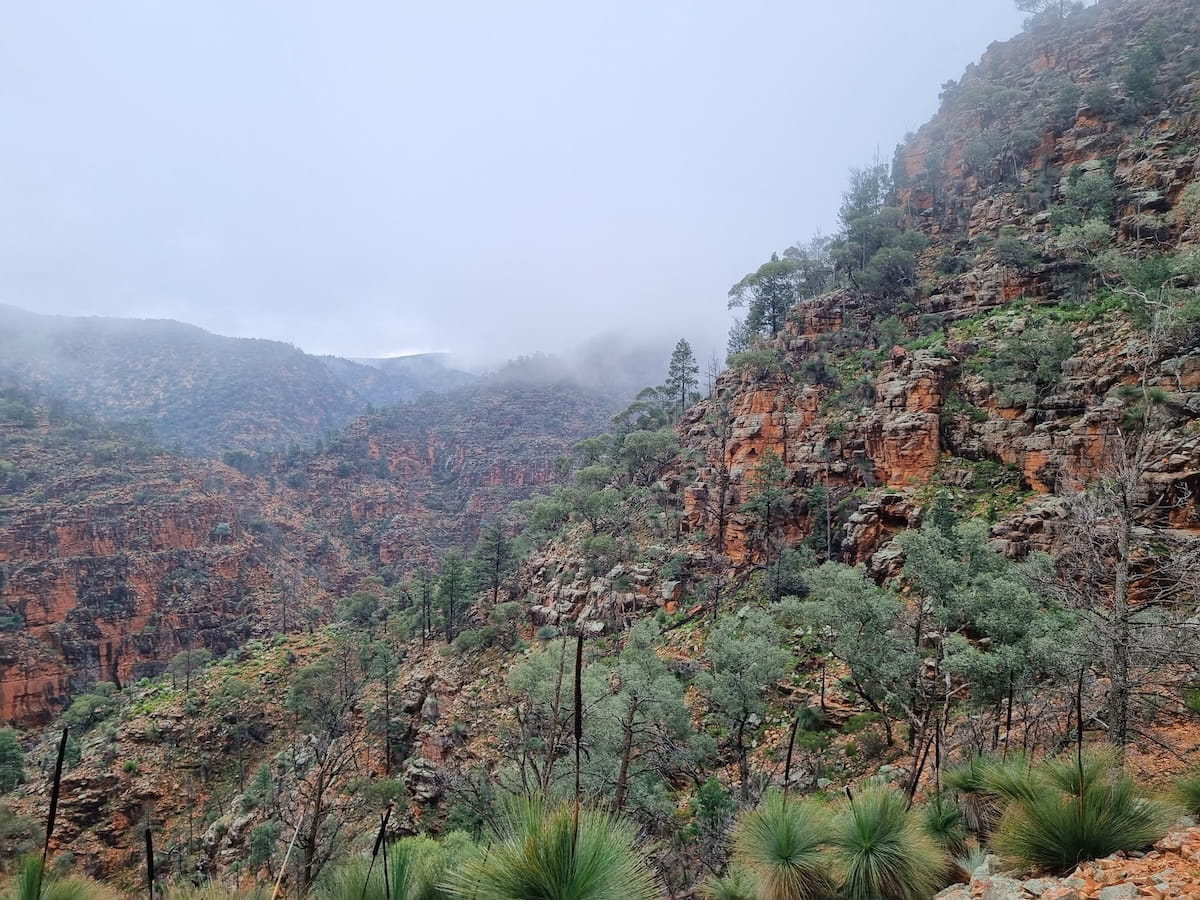
On the other side we dropped packs and walked a short distance upstream to Rover Rockhole. The view below is from the top of the waterfall.
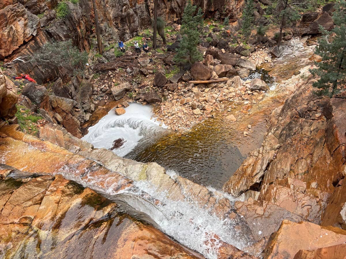
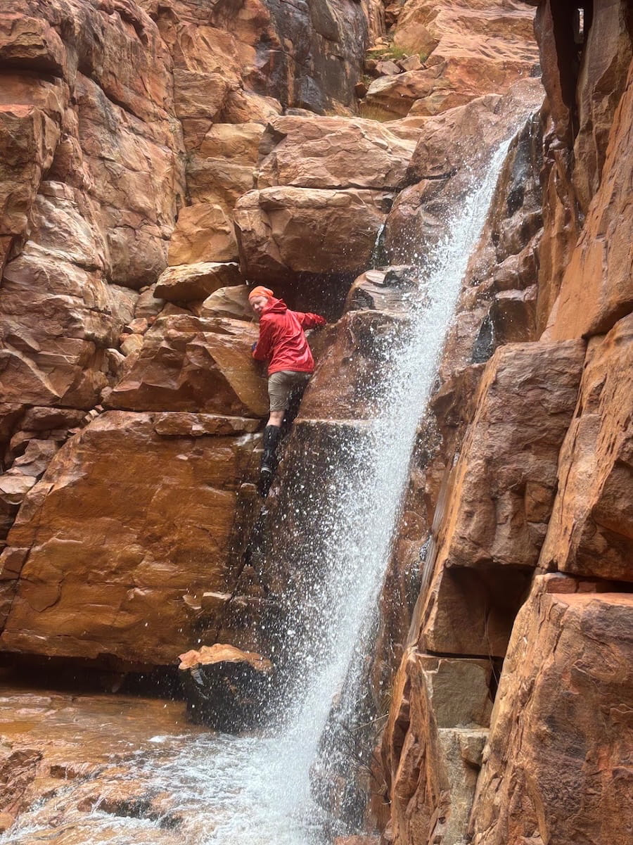
Importantly, this is where the actual waterhole is found. The pool below dries up much earlier, meaning that those seeking water here under normal conditions need to have a head for heights. The two photos here show Trevor on the first and second parts of the climb.
Then returning to our packs we resumed down the creek past a succession of wonders. First, a neat campsite at the creek junction where we turned up into the Terraces. Then the Bathtub, so full of water that it was either a cold swim or a high scramble. We chose the latter.
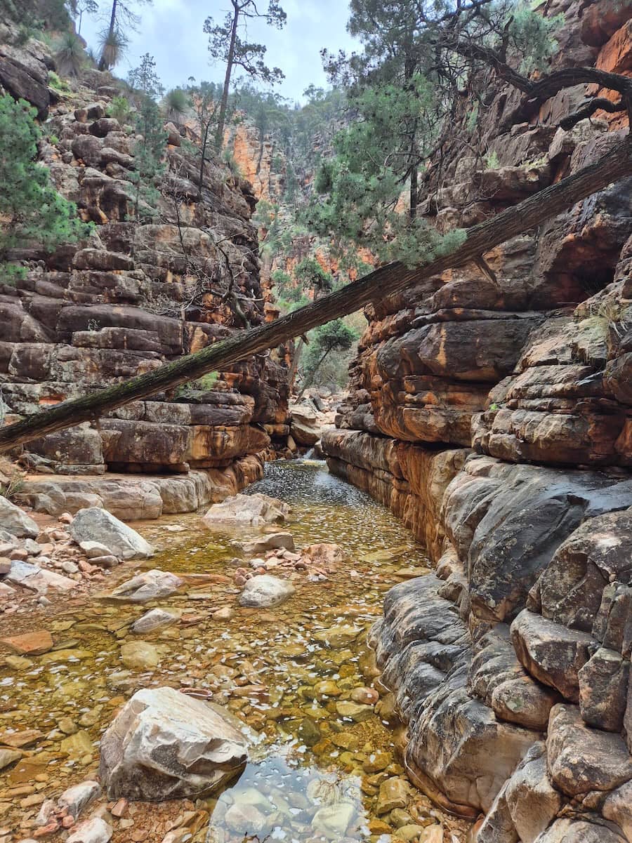
Then Fern Chasm, which is found behind two high and challenging falls. We looked at the first one and decided that it was unclimbable in the wet. Knowing there was another one equally difficult behind made the decision easy.
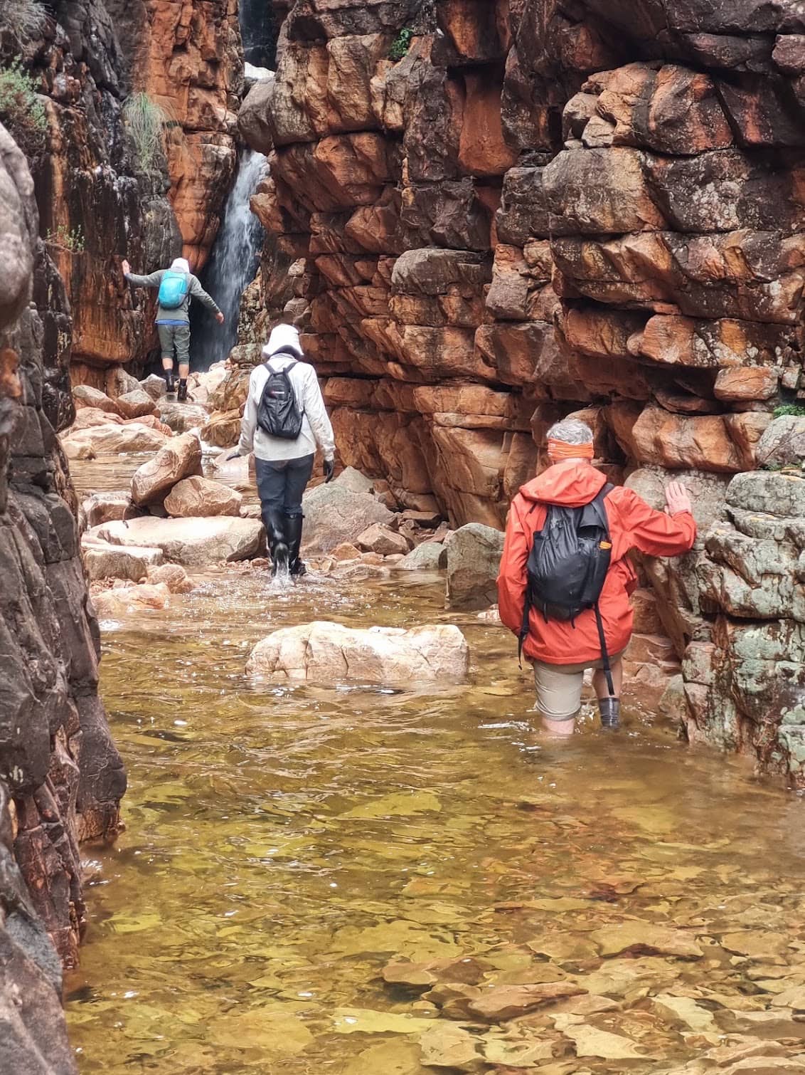
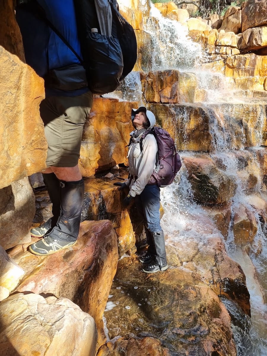
Then The Terraces themselves. These are at least ten moderately high waterfalls along a creek whose bedrock is completely level. Therefore it’s easy progression between each new challenge. Here we are working one out. Note how the strata are broken into large but human-sized layers. Slow going but very fun.
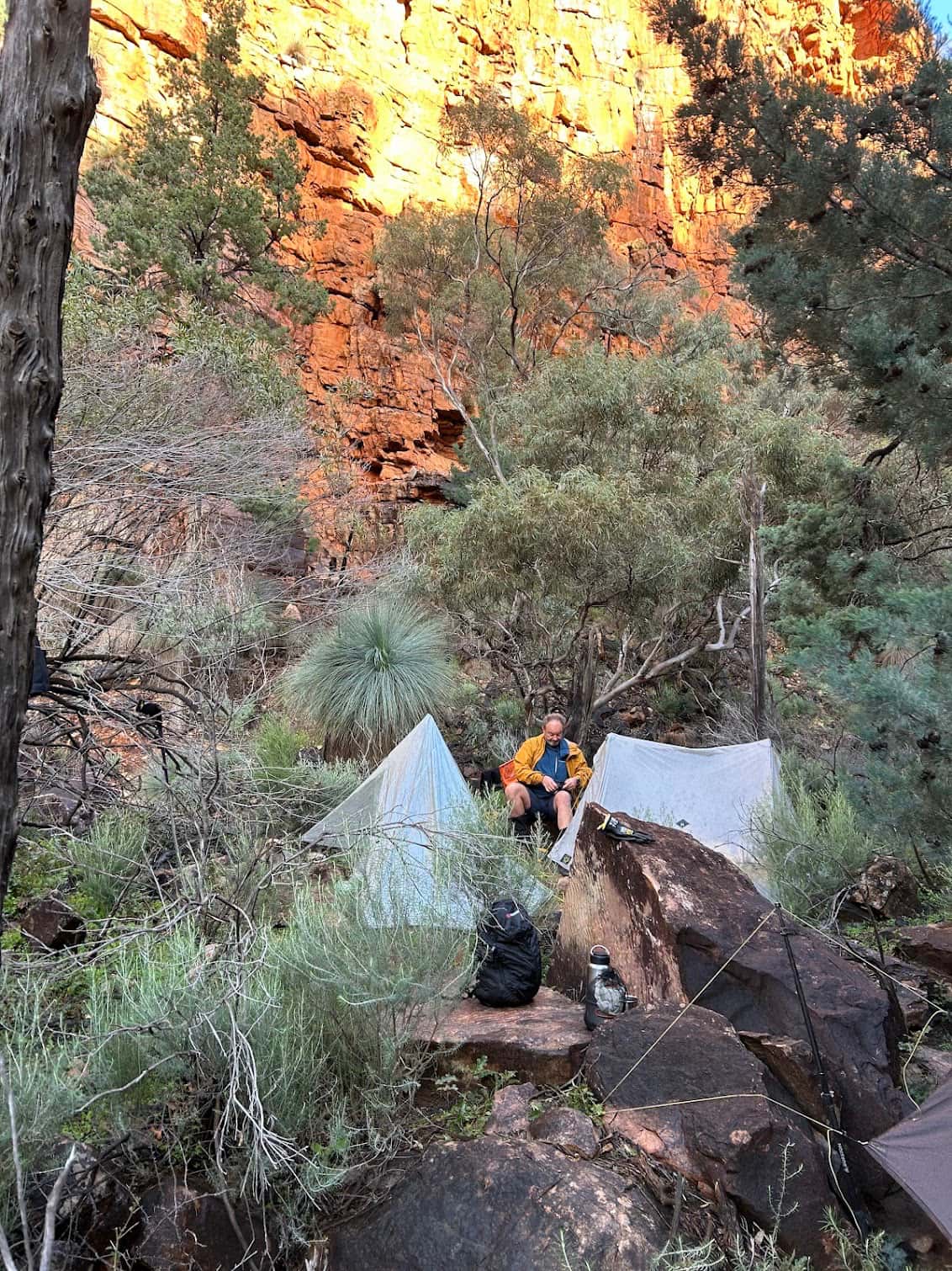
Choosing camp tonight was more of a challenge than usual. Normally, it’s easy to pitch a tent on any of the flat rock surfaces, but of course right now they were covered in water. Eventually we found a few tent spaces on the side of the creek where we could squeeze in for the evening. This was to be our camp for the next two nights.
Day 5: Day Trip to Prow Point 11km
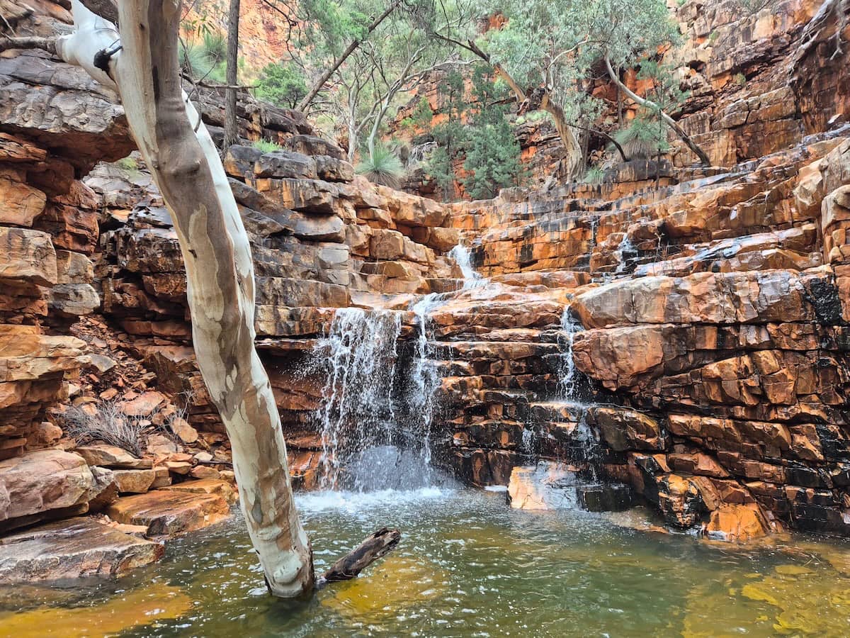
A short distance above camp is a beautiful horseshoe-shaped waterfall.
Further on is a fork in the creek. Left would be our route tomorrow but today we went right, and continued until the creek started to flatten and obstruct with vegetation. Then we turned right and headed directly up the hillside to the summit of Prow Point.
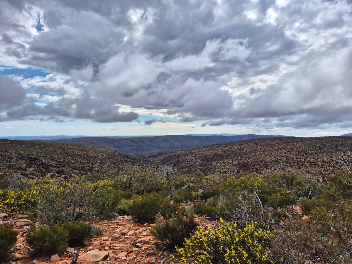
There wasn’t much to see so we walked to a more prominent hill to the north. Here is the view north into Mainwater Pound and across to the Yankaninna Range.
At this point the party split. Two of us went to scout our route for the next day, and the rest went back to camp to bathe Tarzan-style in the waterfalls.
Day 6: Terraces to Junction Waterhole via Streak Gorge 6km
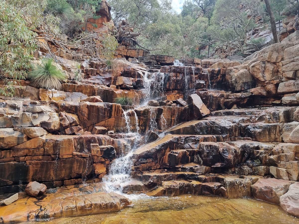
Once more up the remaining Terraces. Here’s another favourite that should be called Zigzag Falls.
Then over a small saddle to drop into the start of Streak Gorge. No challenges here; a gentle gradient with no sharp drops all the way down. Lunch was by a peaceful pool only 600m from camp.
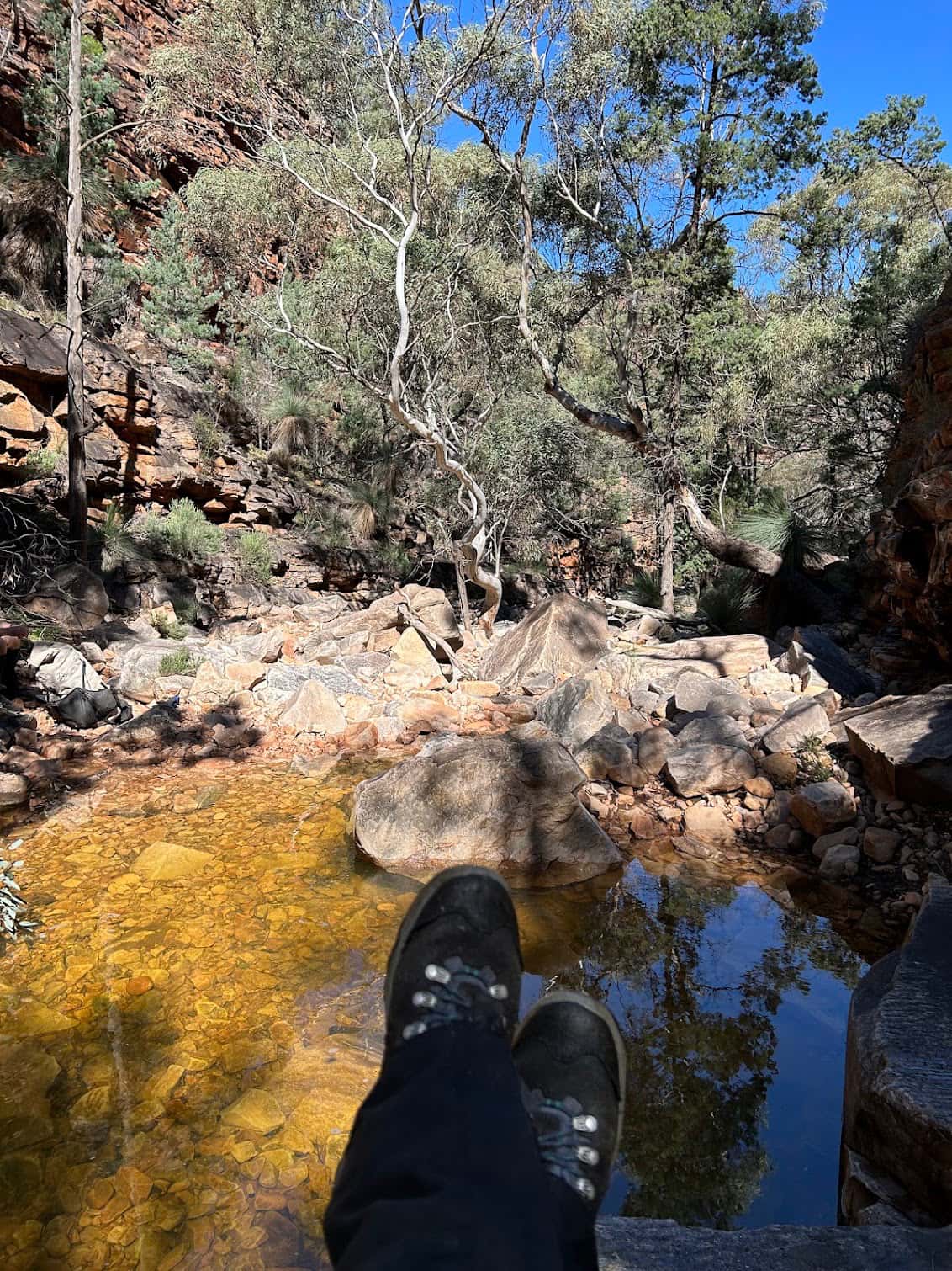
Junction Waterhole is reputed to be one of the more reliable waterholes in the Gammons. It has a dry rock shelter on the other side that you can see on the left. All the rock shelters we saw except this one had significant seepage and would have made very unpleasant bivvies.
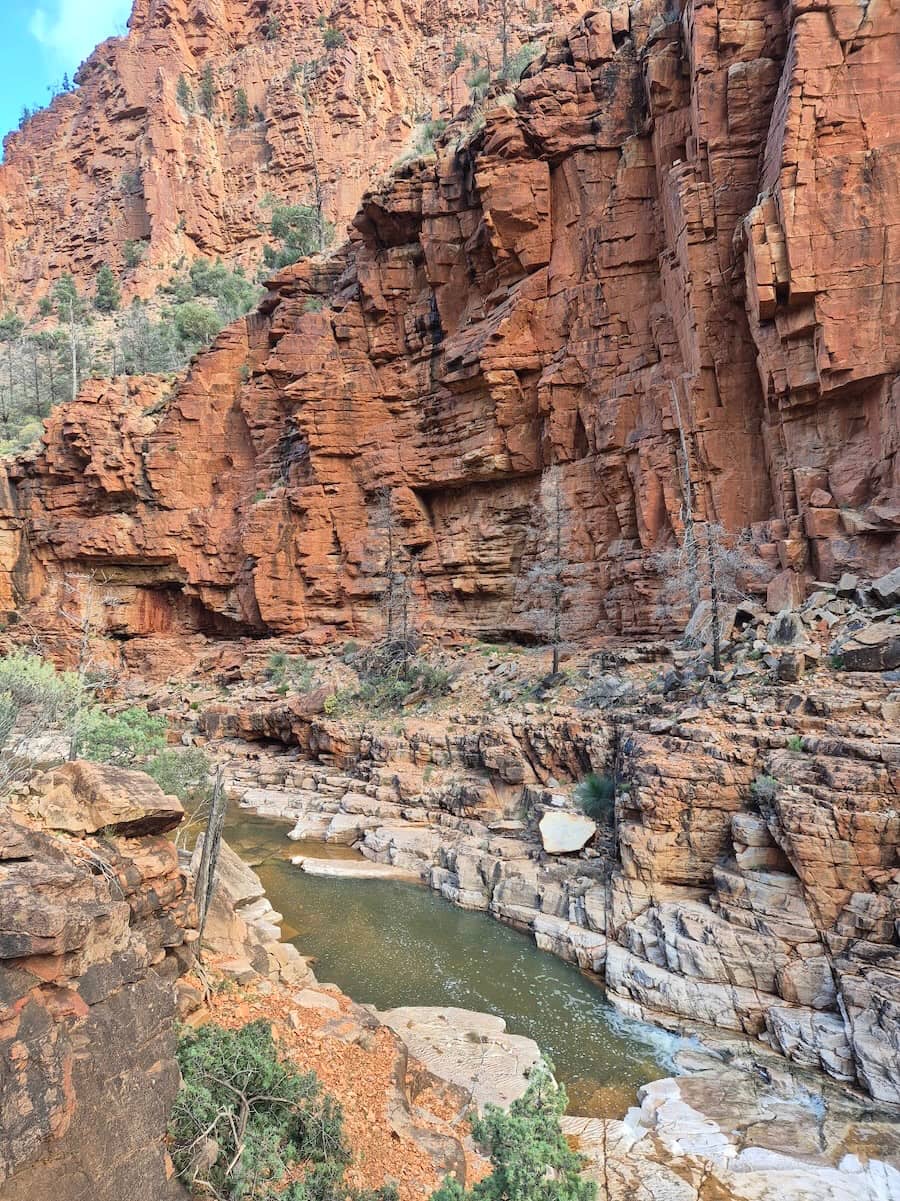
Most conveniently, the site also has flat spaces for at least 4 tents, plus another a hundred metres downstream. A restful afternoon was had by three of us while two members again scouted tomorrow’s route.
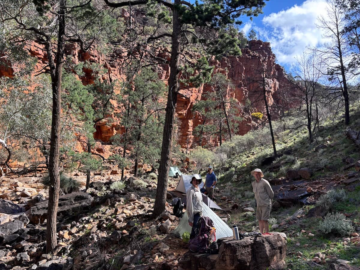
Day 7: Junction Waterhole to Mt McKinlay via Mt Changeweather 8km
Up to today, the rain had played nice and only fallen at night. Now, after lulling us into a false sense of security, it dropped its load on us straight after breakfast. For all but one of us, we managed to get our gear away before the heavens opened.
Play the video with the sound on, though it still doesn’t do justice to the visceral feeling of thunder in the gorges. No that’s not a euphemism for the effects of trail food.
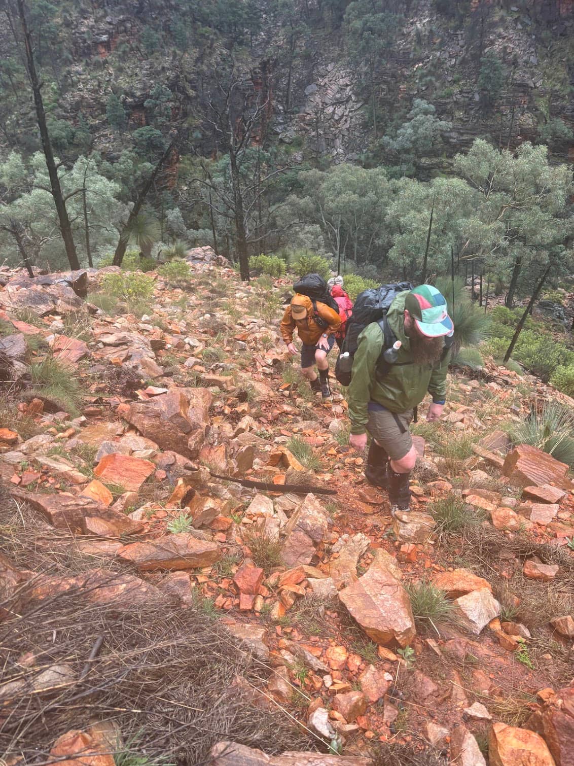
Up a steep but straightforward ridge to Mount Changeweather. Like many of the Gammons summits, it was so flat and indistinct that even having a name seemed a bit of a stretch.
The rain continued until we were all wet through and getting quite cold. When the option was given to go for early camp at Mt McKinlay, the decision was emphatic and unanimous.
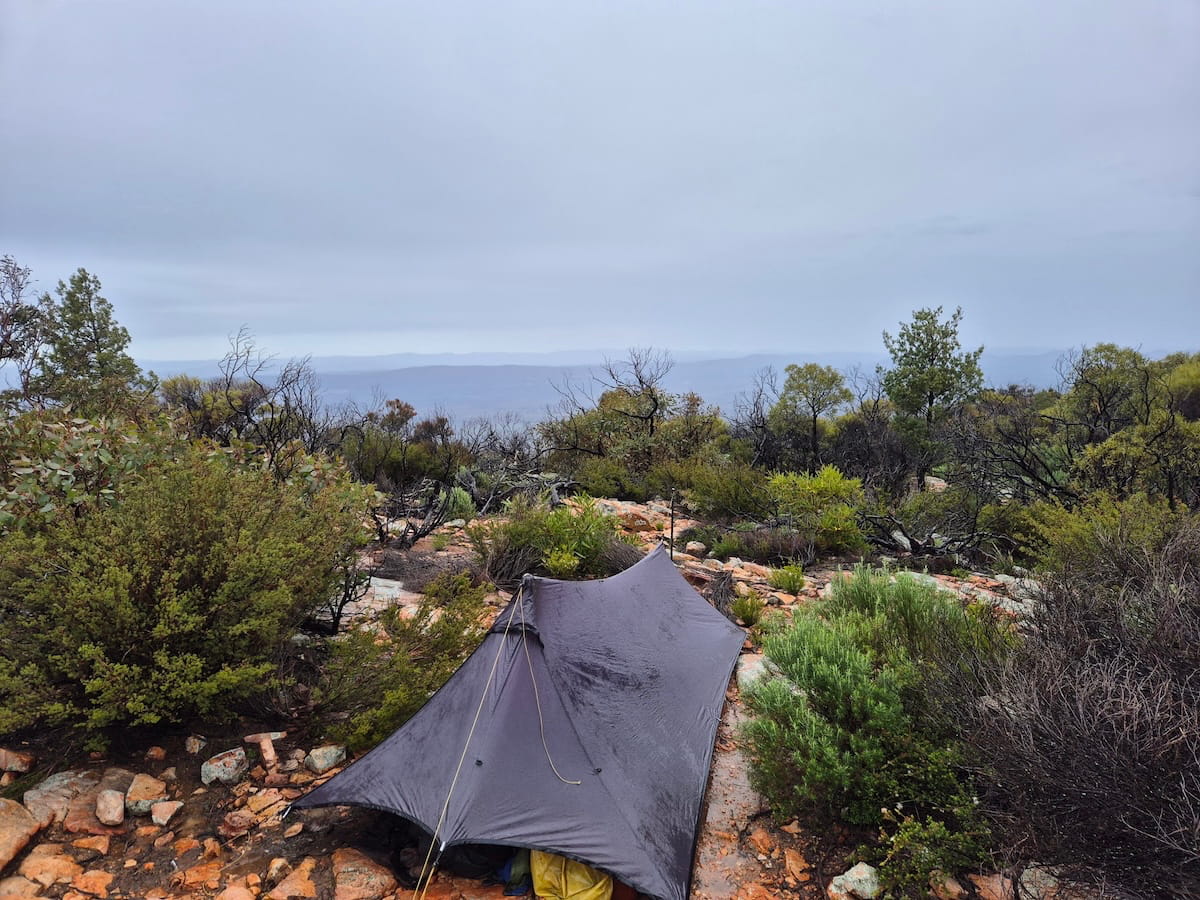
The rain stopped at a civilised time to allow a fire and dinner to be enjoyed. However it wasn’t long before we retreated back to our warm and cosy beds.
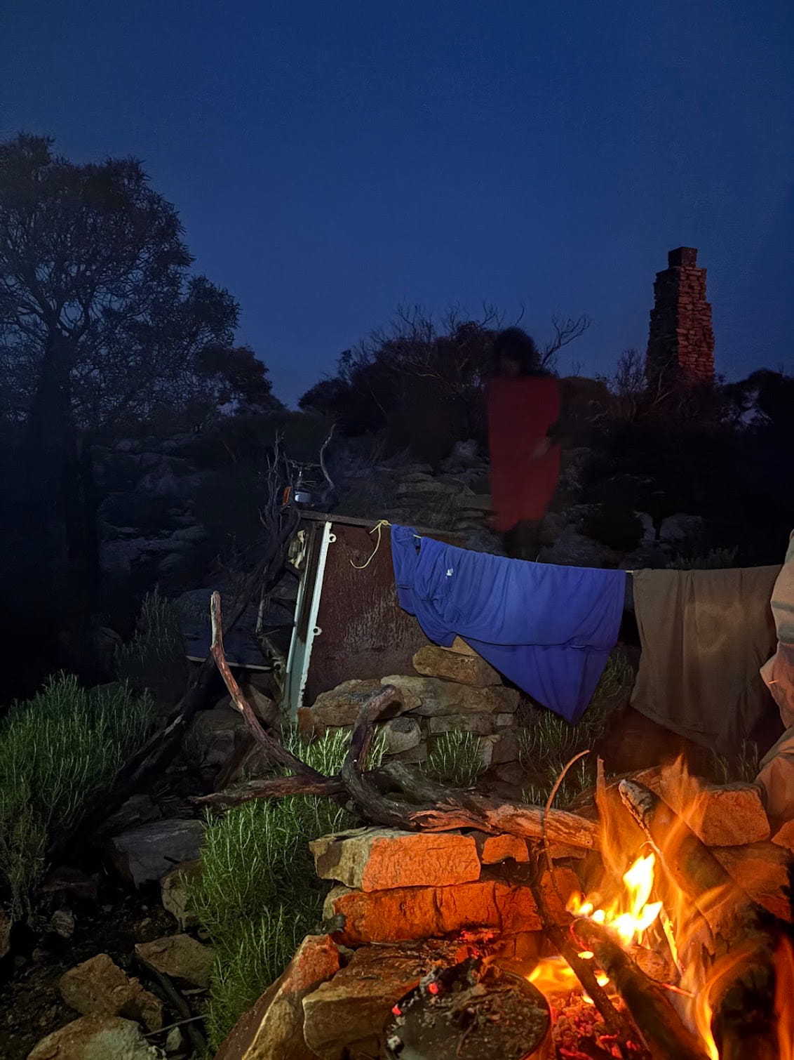
Day 8: Mt McKinlay to Italowie campground via McKinlay Bluff 15km
Out at dawn to watch a frankly disappointing sunrise, but it was nice to be up. Once packed we started the slow process back along yesterday’s route until the Breaking Wave where we turned along an easterly ridge that eventually took us to McKinlay Bluff. On the way we passed many single tent-sized campsites on the saddles but nothing big enough for a group.
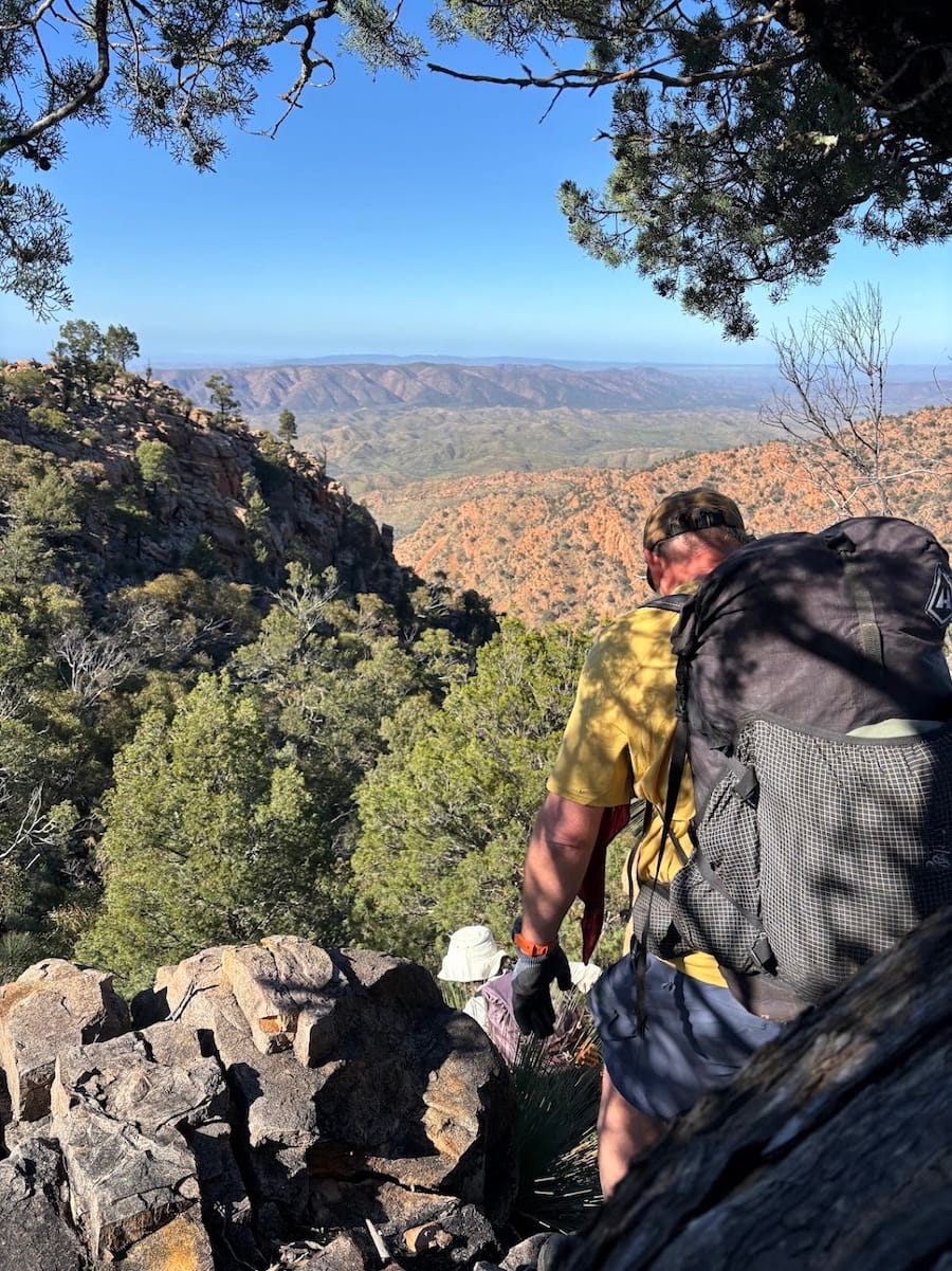
From here we descended a steep ridge into Mckinlay Basin, and along Dr Chewing’s Creek back to Italowie campground. Our last night was spent as we began, telling tall tales around a warm fire.
Throughout the night we shared a lingering sense of unease as to the state of the roads and whether we’d be stuck waiting for the creeks to drop. So the next morning, we drove back as a two-car convoy, with Madeleine even volunteering to wade into the creeks to check their depth. They were certainly higher than on the way in.
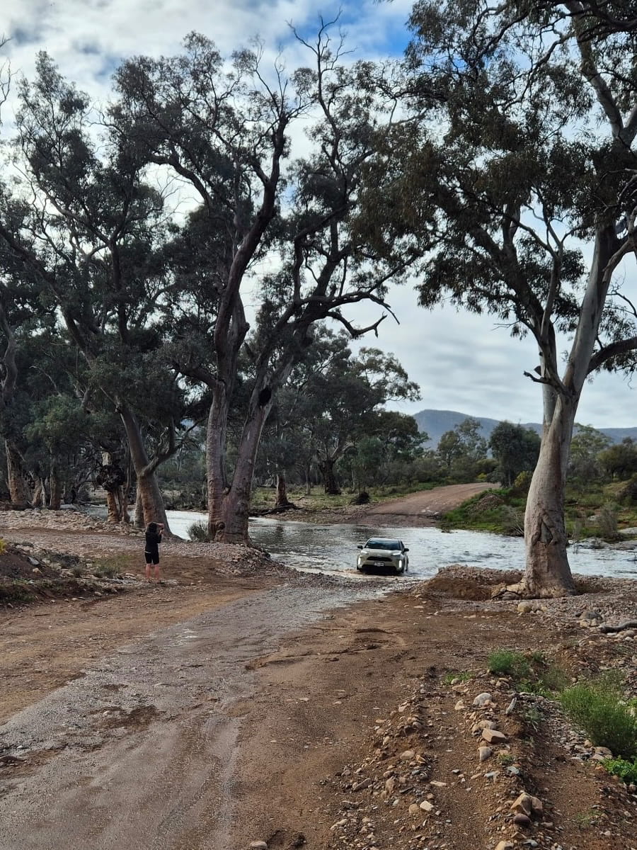
What a crazy trip. And I’m sure none of us would change a thing.
Nice work Andrew.